
India boasts the world’s second-largest highway network, with total national highway length increasing by over 60% to 146,145 km in FY23 from 91,287 km in FY14. This remarkable growth reflects the government’s commitment to enhancing connectivity and boosting economic development across states.
Maharashtra ranks first in India in terms of national highway length, leading a diverse group of states that form the backbone of India’s transportation infrastructure.
Table of Contents
Complete Ranking: Top 10 States with Longest Highway Networks
Understanding which states have the most extensive highway networks reveals patterns of economic development, geographical advantages, and strategic importance in India’s transportation ecosystem.
| Rank | State | Highway Length (km) | Key Highways | Strategic Features |
|---|---|---|---|---|
| 1 | Maharashtra | 18,459+ | NH 4, NH 6, NH 48 | Financial capital connectivity, Golden Quadrilateral |
| 2 | Uttar Pradesh | 12,800+ | NH 2, NH 24, NH 28 | Most populous state, Grand Trunk Road heritage |
| 3 | Rajasthan | 10,706+ | NH 8, NH 11, NH 15 | Desert connectivity, border state importance |
| 4 | Andhra Pradesh | 8,500+ | NH 5, NH 16, NH 65 | Coastal corridor, industrial development |
| 5 | Karnataka | 7,200+ | NH 4, NH 7, NH 17 | IT hub connectivity, Western Ghats access |
| 6 | Madhya Pradesh | 6,800+ | NH 3, NH 7, NH 12 | Central India hub, tribal area connectivity |
| 7 | Gujarat | 6,500+ | NH 8, NH 947, NH 48 | Industrial corridor, port connectivity |
| 8 | Tamil Nadu | 5,900+ | NH 4, NH 44, NH 45 | Southern gateway, industrial zones |
| 9 | Odisha | 4,800+ | NH 5, NH 16, NH 20 | Eastern corridor, mineral transport |
| 10 | West Bengal | 4,200+ | NH 2, NH 6, NH 34 | Eastern gateway, Bangladesh border |
Detailed State-wise Analysis
1. Maharashtra: The Highway Champion
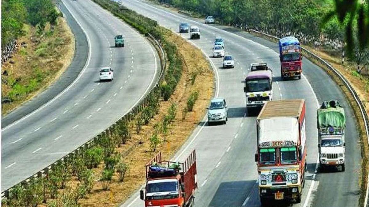
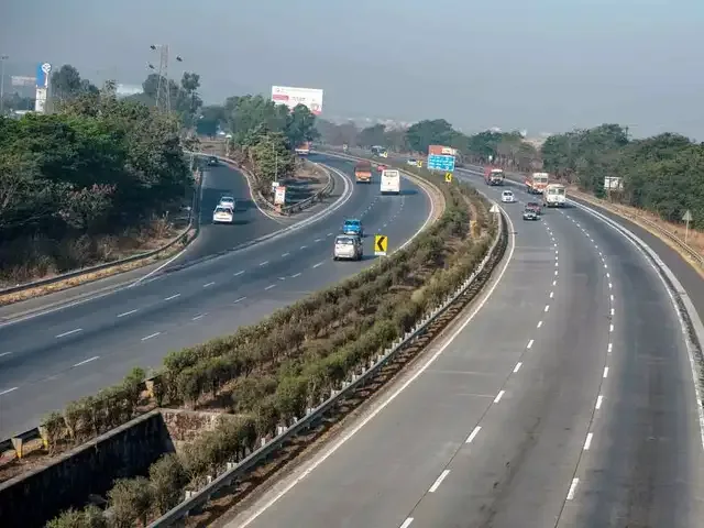
Maharashtra’s leadership position stems from its role as India’s financial capital and industrial powerhouse. The state hosts crucial sections of the Golden Quadrilateral, connecting Mumbai to Delhi, Chennai, and Kolkata. Major highways like the Mumbai-Pune Expressway set benchmarks for highway engineering in India.
2. Uttar Pradesh: The Northern Powerhouse
With over 12,800 km of national highways, UP’s extensive network serves India’s most populous state. The historic Grand Trunk Road (NH 2) traverses the state, while modern expressways like the Yamuna Expressway showcase contemporary infrastructure development.
3. Rajasthan: Desert State Connectivity
Rajasthan’s 10,706+ km highway network overcomes geographical challenges of desert terrain. NH 8 (Mumbai-Delhi Highway) and NH 15 (connecting to Pakistan border) demonstrate the state’s strategic importance in national connectivity.
4. Andhra Pradesh: Coastal Corridor Leader
The state’s 8,500+ km network includes the vital East Coast Corridor (NH 16) connecting Chennai to Kolkata. Post-bifurcation infrastructure development has focused on connecting the new capital region with major cities.
5. Karnataka: Silicon Valley Connector
Karnataka’s 7,200+ km network facilitates connectivity to India’s IT capital, Bangalore. NH 4 and NH 17 provide crucial links between the Western Ghats, coastal regions, and the Deccan Plateau.
6. Madhya Pradesh: Heart of India
Strategically located in central India, MP’s 6,800+ km network serves as a crucial link between northern and southern regions. The state’s highways facilitate mineral transportation and tribal area development.
7. Gujarat: Industrial Corridor Hub
Gujarat’s 6,500+ km network supports the state’s industrial growth, with highways connecting major ports like Kandla and Mundra to inland industrial centers. The Delhi-Mumbai Industrial Corridor passes through the state.
8. Tamil Nadu: Southern Gateway
Tamil Nadu’s 5,900+ km network includes vital north-south corridors. NH 44 (formerly NH 7), India’s longest highway, terminates in Kanyakumari, while NH 4 connects Chennai to major western cities.
9. Odisha: Eastern Development Hub
Odisha’s 4,800+ km network focuses on mineral-rich regions and coastal connectivity. The state’s highways support steel and aluminum industries while connecting tribal areas to mainstream development.
10. West Bengal: Eastern Gateway
West Bengal’s 4,200+ km network serves as the gateway to northeastern states and Bangladesh. Kolkata’s position as a major commercial center necessitates extensive highway connectivity to the hinterland.
For comprehensive coverage of India’s infrastructure development initiatives, visit TechnoSports.co.in’s Infrastructure section for latest updates on highway projects and connectivity enhancements.
The NHAI, established in 1988, works under the Ministry of Road Transport and Highways (MoRTH) and continues to oversee massive expansion projects across these leading states.
For official highway information and project updates, visit the Ministry of Road Transport and Highways website and National Highways Authority of India portal.
Frequently Asked Questions (FAQs)
Q1: Which are the top 10 states in India with the longest national highway networks and what makes each state strategically important? A1: The top 10 states are: 1) Maharashtra (18,459+ km) – financial capital with Golden Quadrilateral connectivity, 2) Uttar Pradesh (12,800+ km) – most populous state with Grand Trunk Road heritage, 3) Rajasthan (10,706+ km) – desert connectivity and border importance, 4) Andhra Pradesh (8,500+ km) – coastal corridor and industrial development, 5) Karnataka (7,200+ km) – IT hub connectivity, 6) Madhya Pradesh (6,800+ km) – central India hub, 7) Gujarat (6,500+ km) – industrial corridor with port connectivity, 8) Tamil Nadu (5,900+ km) – southern gateway, 9) Odisha (4,800+ km) – eastern corridor with mineral transport, and 10) West Bengal (4,200+ km) – eastern gateway to northeastern states.
Q2: How has India’s national highway network grown in recent years and what factors contribute to Maharashtra leading the rankings? A2: India’s national highway network has experienced remarkable growth, increasing by over 60% to 146,145 km in FY23 from 91,287 km in FY14. Maharashtra leads with 18,459+ km due to multiple factors: its position as India’s financial capital requiring extensive connectivity, hosting major sections of the Golden Quadrilateral project, serving as the gateway between northern and southern India, having numerous industrial zones needing highway access, and its strategic location connecting major ports like Mumbai and JNPT to inland markets across the country.
Stay informed about India’s infrastructure development and highway expansion projects at TechnoSports.co.in for detailed coverage of transportation policies and connectivity initiatives.