

A single map has ignited a diplomatic firestorm that threatens to undermine decades of growing friendship between India and Israel. The Israel Defense Forces’ publication of an incorrect map showing Jammu & Kashmir as part of Pakistan has triggered unprecedented outrage across India, forcing the IDF into an embarrassing public apology and highlighting how even seemingly minor cartographic errors can explode into major international incidents in our hyperconnected world.
Table of Contents
The Map That Broke Trust
It was supposed to be a routine military briefing document, the kind published by defense establishments worldwide without much fanfare. But when the IDF released its latest strategic assessment including a map of South Asia, eagle-eyed Indian observers immediately spotted a glaring error that would send shockwaves through both nations’ capitals.
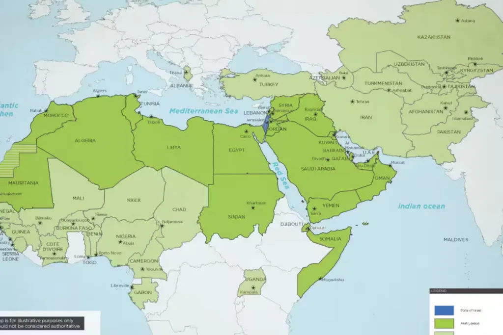
The map clearly depicted the entire region of Jammu & Kashmir—including areas under Indian administration—as part of Pakistan. For Indians, this wasn’t just a cartographic mistake; it was a betrayal by a trusted ally, a fundamental misunderstanding of India’s most sensitive territorial issue, and a diplomatic slap in the face that demanded immediate response.
Within hours of the map’s publication, Indian social media exploded with outrage. The hashtag #IsraelBetrayalsIndia began trending nationally, with users sharing screenshots of the controversial map alongside expressions of hurt, anger, and disbelief that a close partner could make such a fundamental error.
India’s Explosive Reaction
The reaction from India was swift, fierce, and unprecedented in the context of India-Israel relations. Government officials, military veterans, journalists, and ordinary citizens united in their condemnation of what many saw as a deliberate slight rather than an innocent mistake.
Former Indian Army Chief General V.K. Singh expressed the national sentiment: “This isn’t just about lines on a map. This is about recognition of our sovereignty, our territorial integrity, and our national identity. For Israel to get this wrong, especially given our close military cooperation, is deeply troubling.”
Social media became the primary battleground for expressing Indian anger. Twitter user @PatriotMumbai wrote: “We stood with Israel when the world criticized them. We defended their right to exist. And this is how they repay us? By giving away our land to Pakistan on paper?”
The controversy struck at the heart of Indian national pride. Jammu & Kashmir isn’t just another territorial dispute for Indians—it’s a emotional flashpoint that connects to the trauma of Partition, decades of cross-border terrorism, and the sacrifice of thousands of soldiers who have died defending these regions.
The IDF’s Unprecedented Apology
Recognizing the magnitude of their error, the Israel Defense Forces took the extraordinary step of issuing a public apology—something virtually unheard of in military circles where admitting mistakes can be seen as showing weakness to adversaries.
The IDF statement read: “We deeply regret the error in our published map regarding the depiction of Jammu & Kashmir. This was an unintentional mistake that does not reflect Israel’s official position or our respect for India’s sovereignty. We have immediately corrected the map and apologize to our Indian friends for any offense caused.”
But the apology, while swift, couldn’t undo the damage already done to India-Israel relations. Many Indians questioned how such a basic error could occur in a professional military organization known for its attention to detail and intelligence capabilities.
Retired Israeli diplomat Alon Ushpiz, who served in India, acknowledges the gravity of the situation: “In diplomacy, perception often matters more than intention. Regardless of whether this was a genuine mistake, it has created a perception problem that will take significant effort to repair.”
The Geopolitical Sensitivity of Borders
The controversy highlights the extreme sensitivity surrounding territorial disputes in South Asia, where every line on a map carries decades of historical baggage, emotional trauma, and political significance. For India, the correct depiction of its borders isn’t just about geographical accuracy—it’s about national honor, sovereignty, and the blood spilled defending these territories.
Dr. Harsh Pant, a strategic affairs expert, explains the Indian perspective: “When international organizations or friendly nations incorrectly depict our borders, it legitimizes Pakistan’s claims and undermines our position. It’s not just about cartography; it’s about international recognition of our territorial integrity.”
The Kashmir issue remains one of India’s most sensitive foreign policy concerns. Every official document, every international map, every diplomatic statement is scrutinized for how it treats this contentious region. The IDF’s error touched the rawest nerve in Indian strategic thinking.
A Friendship Under Strain
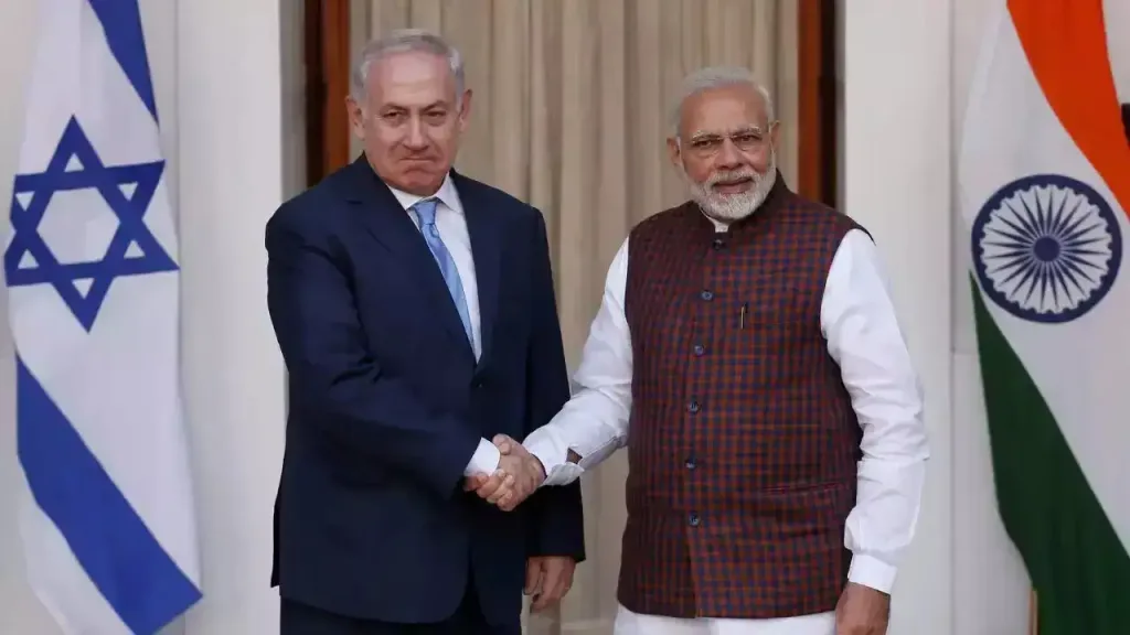
The timing of this controversy couldn’t have been worse for India-Israel relations, which had been experiencing their strongest phase ever. Military cooperation, technology transfers, intelligence sharing, and trade relationships had reached unprecedented levels under recent Indian governments.
Prime Minister Modi’s historic visits to Israel and the warm personal relationship between Israeli and Indian leaders had elevated the partnership to new heights. Joint military exercises, defense deals worth billions of dollars, and close cooperation on counter-terrorism had made Israel one of India’s most trusted partners.
Political analyst Kabir Taneja notes: “This map controversy threatens to undo years of careful diplomatic work. It shows how quickly trust can be damaged and how even technical errors can have profound political consequences.”
The incident has provided ammunition to critics of the India-Israel relationship, who argue that Israel cannot be trusted to understand or respect Indian concerns. Opposition politicians have seized on the controversy to question the government’s foreign policy priorities.
Social Media Amplifies Diplomatic Crisis
In the age of social media, diplomatic errors don’t remain confined to government channels—they explode into public consciousness within minutes. The IDF map controversy demonstrated how digital platforms can transform minor incidents into major international crises.
Indian Twitter users didn’t just express anger; they organized boycott calls, shared historical context about Kashmir, and demanded government action. The viral nature of the controversy meant that what might have been resolved quietly through diplomatic channels became a public relations nightmare requiring public responses.
Technology entrepreneur Ravi Sharma’s tweet captured the public mood: “Maps aren’t just lines—they’re statements of recognition. When Israel shows our Kashmir as part of Pakistan, they’re essentially saying they don’t recognize our sovereignty. This is unacceptable.”
The Broader Implications
The IDF map controversy extends beyond bilateral relations to reveal broader challenges in international diplomacy. As nations become more interconnected and populations more aware of global events, even technical errors can have far-reaching political consequences.
Foreign policy expert Ambassador Kishan Rana observes: “This incident shows how in today’s world, diplomatic mistakes get amplified instantly. There’s no room for error when dealing with sensitive issues like territorial disputes.”
The controversy also highlights the importance of cultural and historical awareness in international relations. Organizations operating globally must understand the sensitivities of their partners and the potential consequences of even seemingly minor errors.
Damage Control and Moving Forward
Both governments moved quickly to contain the damage from the map controversy. Israeli Ambassador to India Ron Malka issued additional clarifications, emphasizing Israel’s respect for Indian sovereignty and territorial integrity. Indian officials, while expressing disappointment, indicated their willingness to move past the incident.
However, rebuilding trust requires more than official statements. The controversy has created lasting suspicions among sections of the Indian public about Israel’s commitment to the partnership. Future cooperation will need to account for this heightened sensitivity.
Lessons in Digital Diplomacy
The IDF Kashmir map controversy serves as a case study in how modern diplomacy operates in an interconnected world. A single error in a routine military document sparked a diplomatic crisis that required intervention at the highest levels of both governments.
For international organizations and governments, the incident underscores the need for extreme care when dealing with sensitive territorial issues. In an age where every document can go viral within minutes, there’s no margin for error on issues that touch national pride and sovereignty.
The friendship between India and Israel will likely survive this controversy, but it has left scars that will take time to heal. The incident serves as a reminder that in diplomacy, as in life, trust takes years to build but can be damaged in an instant—and that in our digital age, every map tells a story that the world is watching.