
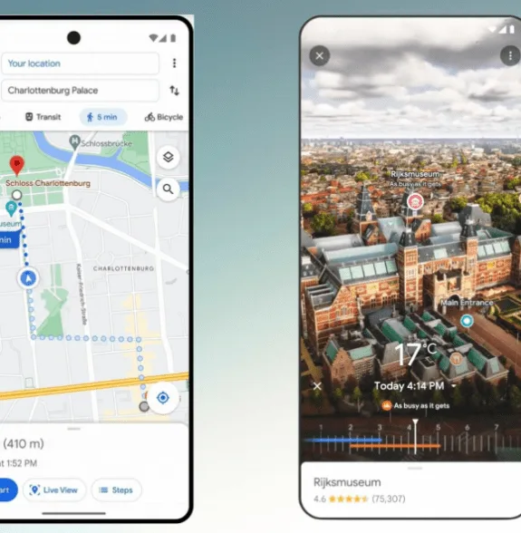
According to a remark made by Google at its annual I/O conference, a new “Immersive View for Routes,” feature would be added to Google Maps in a few select locations. The new function compiles all the information a user could require in one spot, including information on bike lanes, complicated intersections, parking, and other topics including traffic simulations and bike lanes.
Everything related to New Google Maps!
In the upcoming months, Immersive View for Routes will be made available in 15 cities, featuring Berlin, Amsterdam, New York, Dublin, San Francisco, Florence, London, Miami, Paris, Las Vegas, San Jose, Seattle, Tokyo, and Venice. Both iOS and Android devices will get the feature. When traveling by bicycle, car, or foot, you can use this feature.
The new feature, which expands on Immersive View, was first introduced by Google at I/O last year and is meant to assist you in making travel arrangements and giving you a better understanding of a city before you go there. A digital representation of the world is produced by Immersive View using computer vision and AI to combine billions of Street View and aerial photographs. The idea behind Immersive View for Routes is the same, you can examine and comprehend a route before you take it.
You have access to all the data you require regarding your journey at once with Immersive View for Routes. You’ll see a three-dimensional experience when you get directions that allow you to see bike lanes, sidewalks, crossroads, and parking along the way.
Based on recent and previous data that Google has accumulated about a particular location, the function allows you to see what the weather might be like on a particular day or what traffic might appear like at a certain hour. A time slider is included so you can view the route’s appearance as the weather changes throughout the day as well as information on the air quality.
Google also revealed the debut of its Aerial View API, which will enable developers to incorporate a pre-packaged aerial video of a location into their applications and websites to provide users with a visual representation of the area. One of Google’s first collaborations was with the real estate company Rent.com, which uses the API to make rental properties and their surroundings more visible to tenants so they may virtually tour neighborhoods.
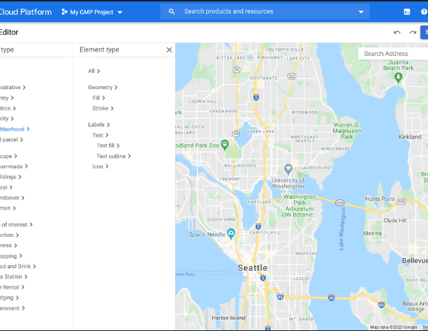
Google is also doing experimental releases of 3D photorealistic games for programmers. The newly added feature in the Google Maps Platform enables developers to quickly produce branded, immersive map experiences and visualizations. A tourism organization may, for instance, create an interactive map tour of famous buildings with markers that share restaurant information.